Otcassis 02376 Hd Rotated
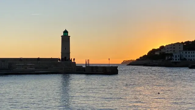
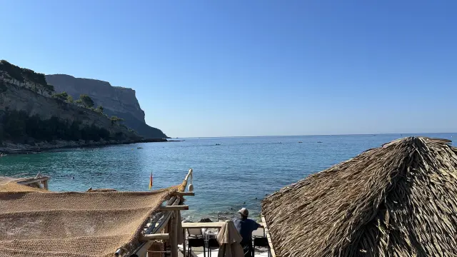
Cap Canaille and the CrêtesVertiginous beauty between sky and sea
Access and closures
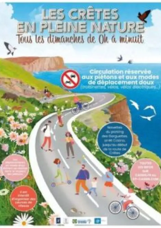
2025 12 31 Les Cretes En Pleine Nature
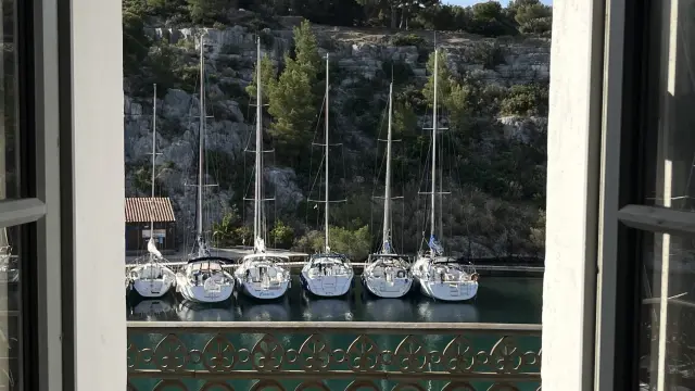
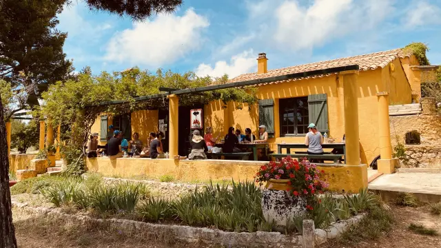
The Route des Crêtes in the heart of nature
Every Sunday – from 0h to midnight
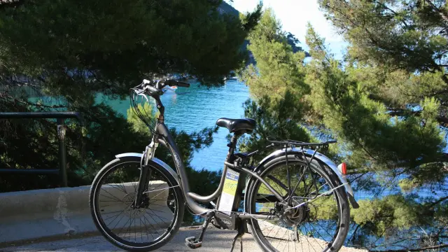
Traffic reserved for pedestrians and soft modes of transport!
A shuttle bus will take you to the Route des Crêtes from Cassis
- Gorguettes car park
- Casino roundabout
- Les Crêtes
(and return shuttle bus)
Practical information
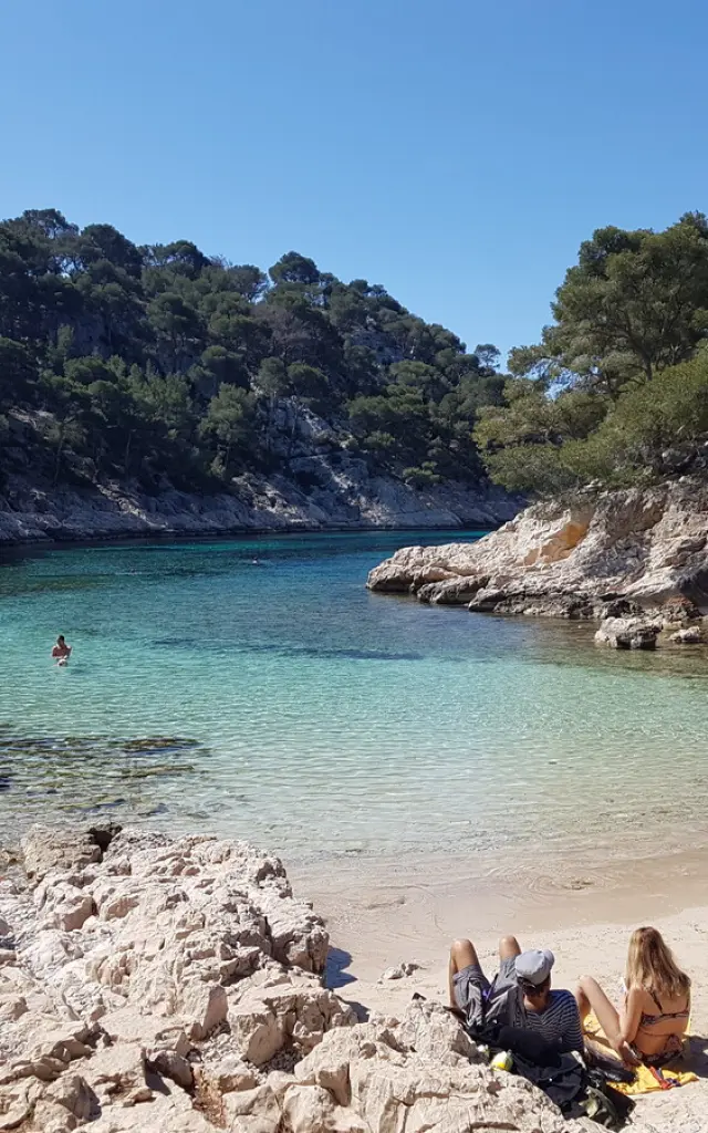
Parking at the gateway to the Calanques, getting there on foot, the new regulations in force…
Otcassis 02595 Hd
|
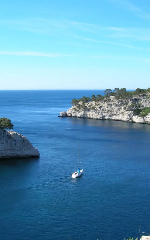
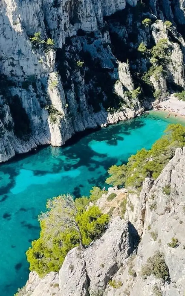
The Route des Crêtes
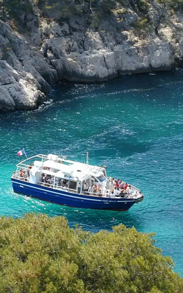
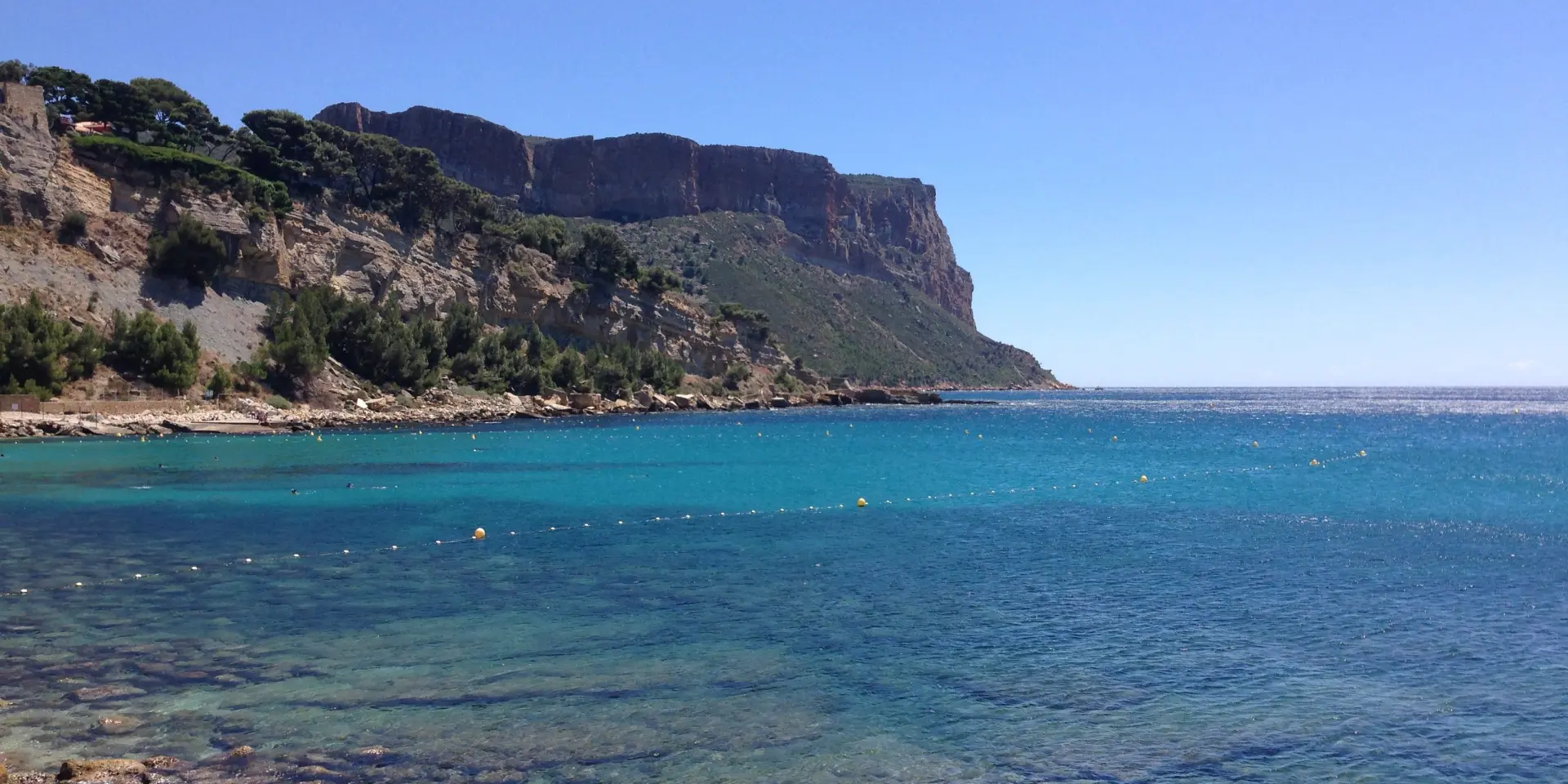
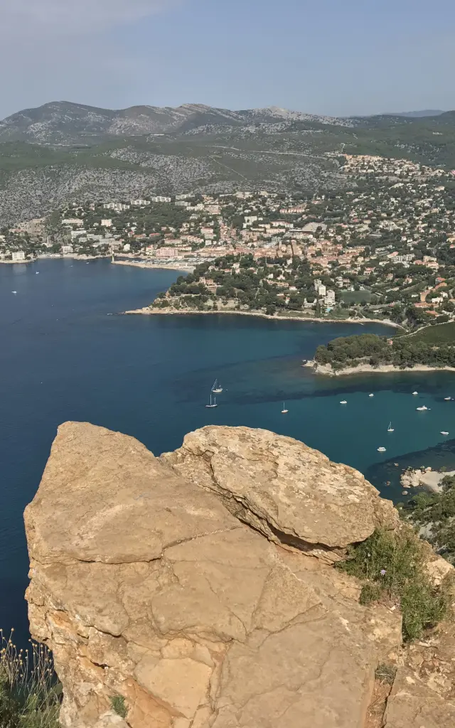
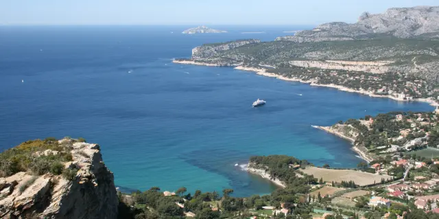
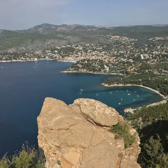
A 15km panoramic road linking Cassis to La Ciotat, winding its way along the cliff tops. Each bend reveals a breathtaking view: the Bay of Cassis, the Calanques National Park, the vineyards and the massifs of Provence.
- Developed viewpoints
- Car parks to stop and admire the scenery
- Hiking trails
Since 2024, the route has been pedestrianised every Sunday for a gentle, 100% natural experience.
Did you know?
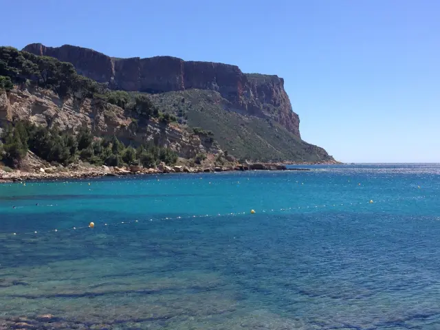
The name “Cap Canaille” comes from a deformation of the Provençal expression “Cap Naio”, meaning “swimming cape”. It is formed of red marl and sandstone from the Cretaceous period, giving it its typical flamboyant colour.
A few tips
Respecting a sensitive site
Listed and protected, Cap Canaille is a fragile natural area.
- Don’t get too close to the cliffs
- Keep to the signposted paths
- Access closed in strong winds (watch out for the mistral: strong gusts)
- In summer, access subject to fire regulations
Otcassis 02595 Hd
|
Otcassis 02376 Hd Rotated